
ORLANDO, Fla. – Central Florida is heading into another dangerously hot day, but there is finally some relief in sight.
A heat advisory remains in effect Friday as heat index values soar as high as 110 degrees, while rain chances slowly begin to rebound this weekend after several drier days.
Adding another wrinkle to the forecast, a plume of Saharan dust will continue moving across Florida, helping suppress widespread storms while also creating hazy skies and lower air quality levels through the weekend.
FRIDAY
The heat advisory runs from 11 a.m. until 8 p.m. Friday for all of Central Florida. Afternoon temperatures will climb to near record highs in the mid to upper 90s. But when combined with Florida’s humidity, it will feel more like 105 to 110 degrees in many communities.
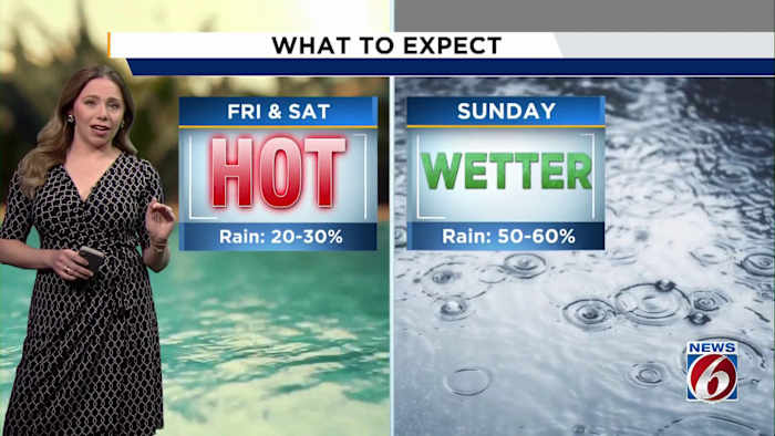
Rain chances remain lower than normal Friday, with only isolated storms expected (20-30%) west of Interstate 4.
WEEKEND
That begins to change late this weekend as deeper moisture returns to Central Florida by Sunday. Rain and storm coverage is expected to increase back to more typical July levels, with scattered (5-60%) afternoon and evening storms developing.
Meanwhile, Saharan dust moving over the state will continue to play a role in the forecast. The dry, dusty air helps limit widespread thunderstorm development and is one reason rain chances have remained lower than normal this week.
The dust may also lead to hazier skies and colorful sunrises and sunsets, but it is expected to contribute to moderate air quality levels across Central Florida through the weekend, which could impact people who are especially sensitive to air pollution.
NEXT WEEK
Looking ahead, another surge of moisture associated with a front stalling to our north could boost rain chances Tuesday and Wednesday (50-60%) while knocking temperatures down slightly.
Daily Forecast
The News 6 Weather team ensures you’re always on top of the day’s weather.
Copyright 2026 by WKMG ClickOrlando – All rights reserved.