
PORTLAND, Ore. (KATU) — A Heat Advisory is now in effect and is set to expire at 11 p.m. Wednesday. High temperatures today and Wednesday are forecast to reach the upper 90s, with a few spots climbing into the low 100s.
WEATHER | Latest Storm Tracker 2 Forecast
The hottest temperatures will top out in the Columbia River basin, from The Dalles toward Pendleton.
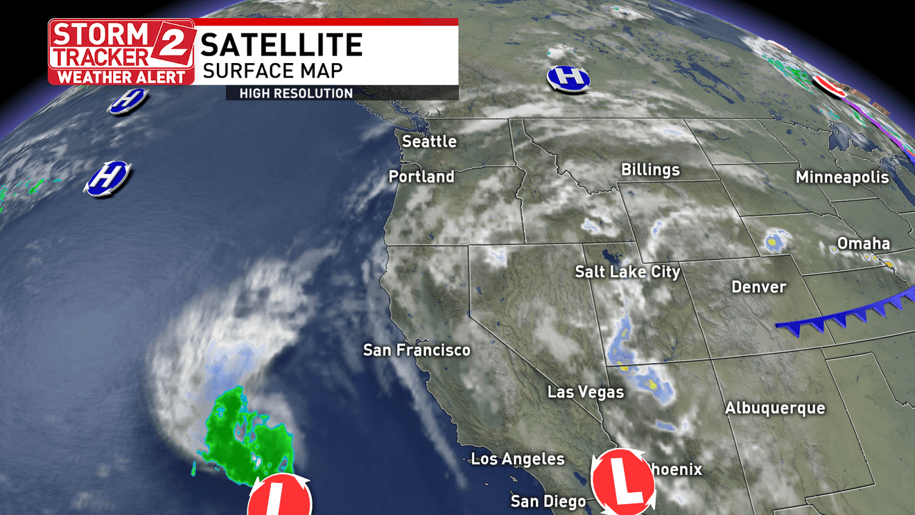
“Hot, muggy and smoky conditions continue across northwest Oregon and southwest Washington through Wednesday,” said Storm Tracker 2 Meteorologist Matt Gontarek. “Increasing tropical moisture will bring a chance for isolated thunderstorms across the Willamette Valley Wednesday evening into Thursday morning.”
The remnants of Tropical Storm Elida are moving into the region, pushing humidity levels higher and making conditions feel much muggier.
The Storm Prediction Center says thunderstorms, both dry and wet, are possible on both sides of the Cascades today and Wednesday. While some storms will produce rainfall that reaches the ground, precipitation amounts are expected to remain limited.
Central Oregon remains highly susceptible to new fire starts.
“Some weather models want to bring strong storms through Deschutes, Jefferson and Crook counties on Wednesday afternoon, very close to where several large fires are already burning,” said Storm Tracker 2 Digital Meteorologist Bobby Corser. “Storms look likely from the afternoon through the evening hours.”
With high temperatures in the Portland area reaching the upper 90s and possibly the low 100s, the risk of heat-related illness increases. If you must be outdoors, take frequent breaks in the shade, seek air conditioning whenever possible, and drink plenty of water.
“Cooler onshore flow returns late this week, leading to a more comfortable stretch of weather this weekend,” Gontarek said.