
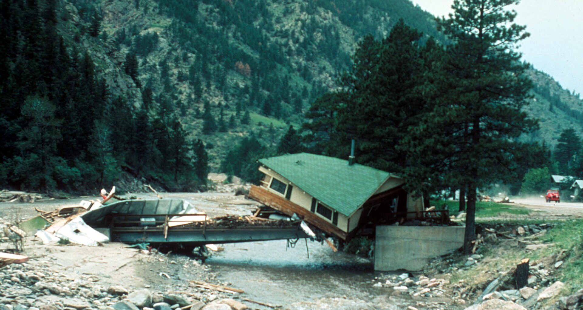
LOVELAND, Colo. — On July 31, 1976, the Sylvan Dale guest ranch buzzed with summer guests.
“It was a beautiful day,” remembers Susan Jessup, 82, who spent the summer working for her parents at the ranch located at the mouth of Big Thompson Canyon.
In the evening, ranch guests loaded into wagons for a ride around the property. When the guests returned, they faced an urgent warning from Colorado State Patrol Sergeant Willis Purdy.
A wall of water was headed their way.
Guests rushed to higher ground, sheltering at Jessup’s parents’ house. A lone German guest who failed to understand the warning remained at the bunk house.
As the water rose, guests heard his cries for help. The German was stranded on the roof of the bunk house. Using lassos tied to a clothesline pole, ranch wranglers lowered themselves down, pulling him to higher ground.
“As soon as they got him off the roof, the roof went down the river,” Jessup said.
In roughly five hours — from 6 p.m. to 11 p.m. — thunderstorms near Estes Park unleashed 12-14 inches of rain over the region, sending a torrent of water into Big Thompson Canyon. The wall of water reached 30 feet, destroying more than 400 houses and killing 144 people.
Fifty years later, the 1976 Big Thompson flood remains one of Colorado’s deadliest natural disasters. Although this year’s record low-snowpack has stoked concerns over drought and wildfires, floods remain a persistent threat along the Front Range.
“The ingredients for flood risk are absolutely found here,” said Kelly Mahoney, a research meteorologist with the National Oceanic and Atmospheric Administration. “Lots of places on the East Coast get more rain, but the impacts aren’t as severe as here.”
Colorado’s steep topography and rocky soils funnel rain into dangerous flash floods.
Wildfire burn scars are particularly vulnerable. Wildfires sear vegetation that would normally absorb water, chemically alter soils to repel water and even increase the potential for landslides, Mahoney said.