
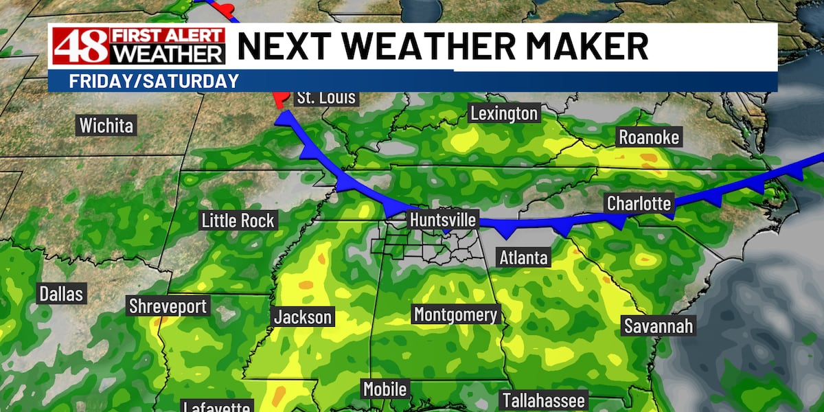
HUNTSVILLE, Ala. (WAFF) – Hot and mainly dry conditions continue Thursday, but a cold front nudging into north Alabama heading will bring temperatures down slightly and rain chances up as we wrap up the week and head into the weekend.
For today, expect a mostly sunny and hot afternoon. Highs will reach the mid 90s. There’s an outside shot at a few showers.
Tonight brings partly cloudy and muggy conditions. Lows will be in the low 70s.
A few scattered afternoon showers or storms are possible Friday. We’ll otherwise see a mix of clouds and sunshine with highs in the low 90s.
The weekend begins with scattered rain and storms on Saturday, mainly during the afternoon. Temperatures will drop back into the mid 80s for highs. Sunday will feature less rain and temperatures back in the upper 80s.
The heat will build back in the first half of next week with mostly dry days and highs in the low 90s. Another cold front is due in toward the end of next week and is expected to bring more rain chances and a temperature drop heading into next weekend.
Click Here to Subscribe on YouTube: Watch the latest WAFF 48 news, sports & weather videos on our YouTube channel!
Copyright 2026 WAFF. All rights reserved.