
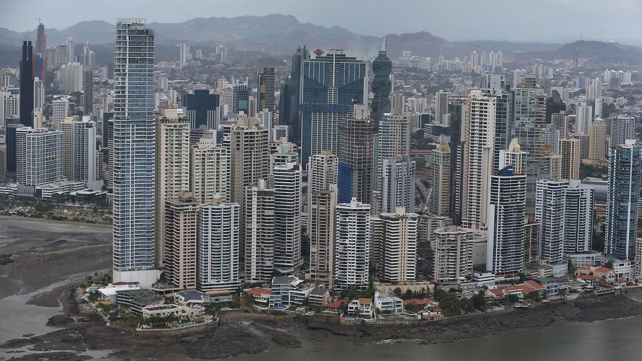
(TNND) — A powerful earthquake jolted Panama at 1:56 p.m. EDT Friday, shaking buildings in the capital and prompting evacuations across the country as tsunami alerts spread along parts of the Pacific coast.
The U.S. Geological Survey said the quake measured magnitude 7.7, revising an initial magnitude 8.0 report. The epicenter was about 12 kilometers (7 miles) west-southwest of Pitaloza Arriba, Panama, in or near Herrera Province. The quake struck at a depth of 12.6 kilometers (about 8 miles).
The earthquake hit roughly 120 miles southwest of the Panama Canal, according to Bloomberg.
PANAMA CANAL, PANAMA – APRIL 07: Part of the Panama City skyline is seen on April 7, 2016, in Panama City, Panama. The image is used to illustrate a powerful earthquake that struck Panama on Friday. (Photo by Joe Raedle/Getty Images)
Strong shaking was reported in Panama City, where buildings shook and residents evacuated into the streets. Local reporting said schools, homes, and other buildings were evacuated across Panama.
A tsunami threat notice was issued for Panama and parts of Central and South America’s Pacific coast. The USGS said hazardous waves are possible along the coasts of Costa Rica, Nicaragua, El Salvador, Guatemala, Mexico, Ecuador and Peru. Other reporting also listed Colombia among areas under potential threat.
Panama’s Institute of Geosciences reported a second earthquake shortly after the initial quake, measuring magnitude 6.0.
As of the latest updates, there were no immediate confirmed reports of deaths, injuries, or major damage. The situation remained fluid, with magnitude assessments, tsunami alerts, and impact reports subject to change.