
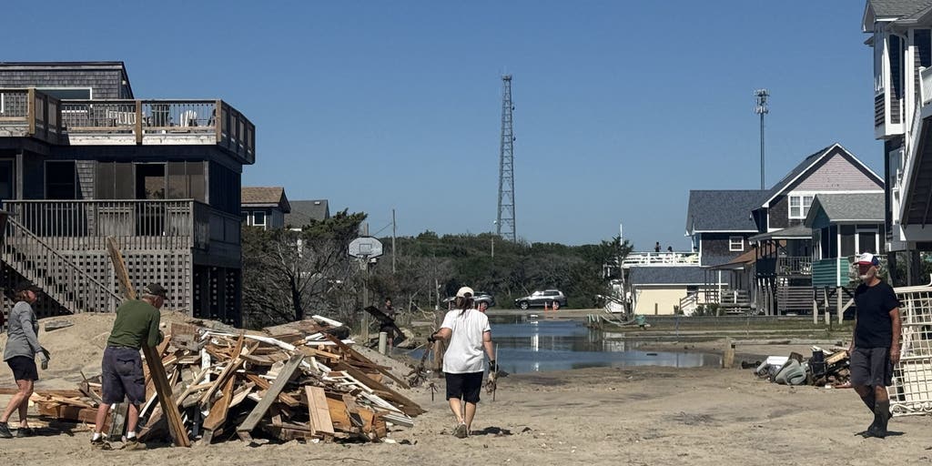
A powerful nor’easter is approaching the East Coast, potentially bringing days of significant impacts. Some areas could see wind gusts of 40 to 60 mph, coastal flooding and erosion, and torrential rainfall.
The next fall nor’easter is brewing off the North Carolina coast, setting the stage for extensive impacts throughout the week.
The National Hurricane Center is now highlighting this area for potential tropical development, with a 30% chance over the next seven days.
Regardless of tropical development, the Outer Banks are expected to see long-term impacts, including intense wind gusts from the approaching nor’easter, while the storm sits off the coast.
The main concern for the Outer Banks region will be intense wind gusts as strong as 40 to 60 mph, fueling moderate coastal flooding and destructive waves.
A mandatory evacuation for locals on Hatteras Island is in effect, as storm conditions are expected to worsen, with the potential for significant ocean overwash.
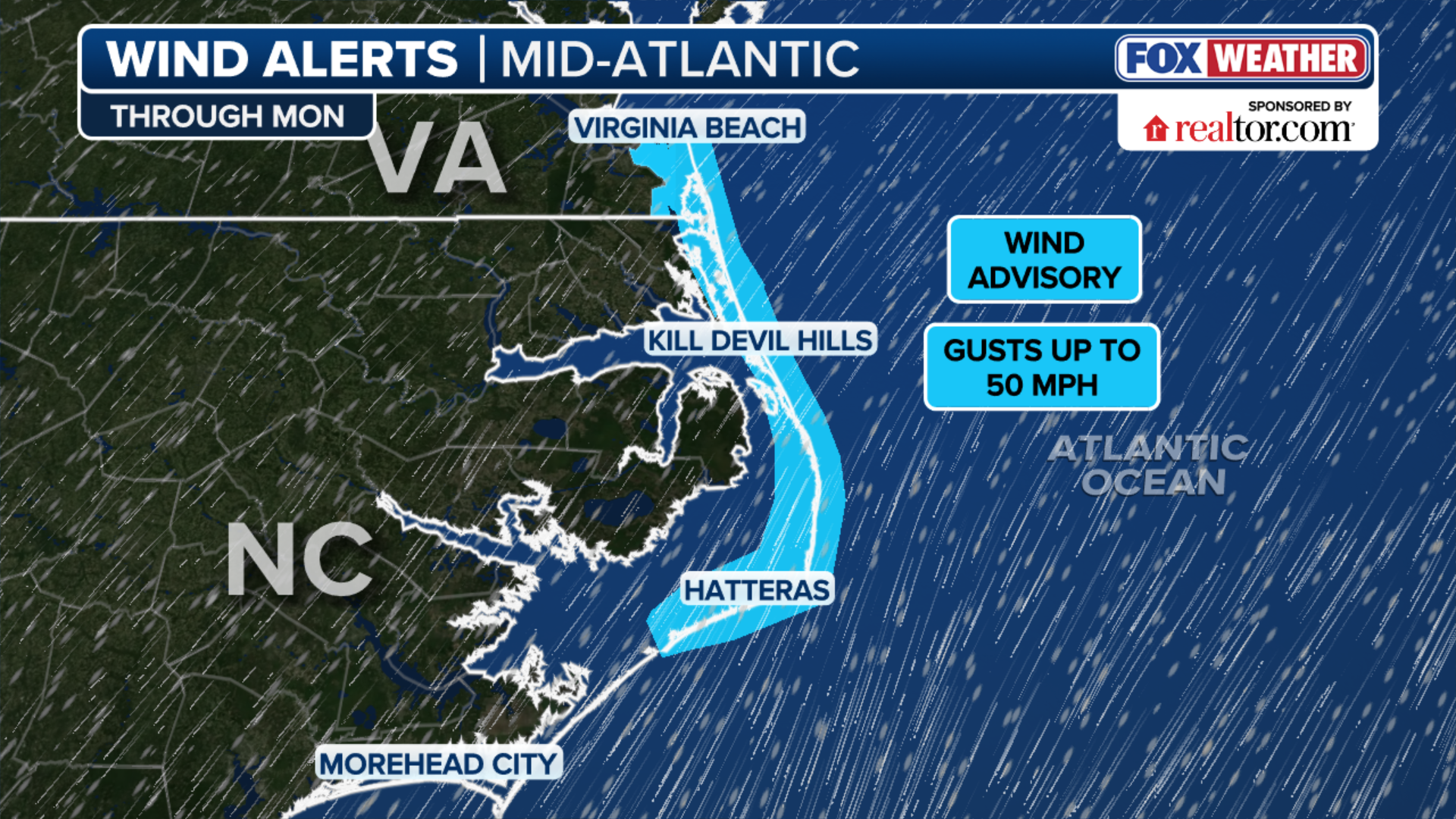 This graphic shows the Wind Alerts for the upcoming Nor’easter.
(FOX Weather)
According to the FOX Forecast Center, the impacts will last through late Wednesday evening and into Thursday, totaling three days of nasty storms with ferocious wind gusts.
The worst of the flooding will stretch from the Outer Banks into Chesapeake Bay and up through Ocean City, Maryland, water levels are expected to rise more than two feet above normal during high tide.
BREWING FALL NOR’EASTER COULD BECOME SUBTROPICAL AS STORM THREATENS MILLIONS ALONG EAST COAST
During the nor’easter, the roughest waves and high tide will occur from noon to 4 p.m., with conditions getting slightly worse over time.
By Thursday, the impacts will begin to fade, but will persist to some degree, according to the FOX Forecast Center.

An eighth home collapses in Buxton, North Carolina in rough surf on Oct. 2, 2025.
(FOX Weather)
The Outer Banks region is all too familiar with the destructive qualities associated with these storms, as coastal erosion along with intense surf will threaten numerous communities as homes in the past have fallen victim to the severe weather.
SUPER EL NIÑO FUELED WINTER COULD UNLEASH MORE STORMS, DRIVING MORE ACTIVE PATTERN INTO THE SOUTH
The nor’easter is expected to retain its frontal characteristics, so it is unlikely to become fully tropical even if it were to form over warm water.
Nonetheless, impacts across portions of the East Coast are inevitable, but are expected to be limited, including showers, gusty winds and coastal flooding from high surf, as the nor’easter lingers off land.
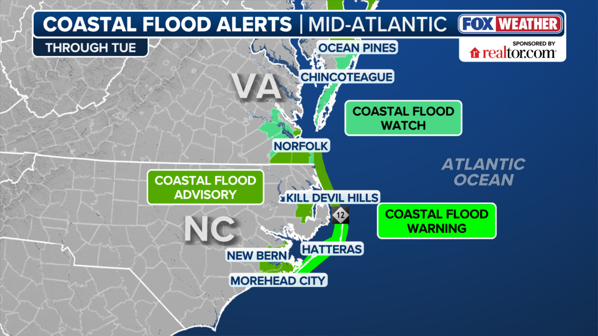 This graphic shows the Coastal Flood Alerts for the upcoming Nor’easter.
(FOX Weather)
As a result, coastal flood alerts are active for coastal North Carolina and Virginia, where water levels could rise 2 to 4 feet and waves could reach 12 feet.
The FOX Forecast Center will continue to monitor the system for any changes in its track, intensity or expected impacts.