
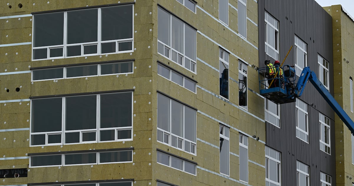
 Apartment homes under construction near downtown Anchorage in 2023. (Bill Roth / ADN archive)
In a yearlong debate over where the municipality should allow denser housing, some Anchorage residents want to limit future development based on earthquake risk.
The Anchorage Assembly earlier this month delayed a decision on a proposal intended to use added density as a means of combating Anchorage’s housing shortage. The zoning policy, called the Missing Middle Housing Opportunity overlay, or MMHOP, would allow more, and in some cases taller, units on a single lot.
Anchorage property owners have voiced a variety of reasons why they don’t want additional density in their neighborhoods: additional traffic, noise and congestion, lowered property values and a fear of change to neighborhood character.
In Anchorage, earthquake risk has emerged as another reason cited by some to stymie the development of new multifamily housing units in certain areas of the city.
Among the proposed changes to MMHOP, residents have asked the Assembly to exclude seismic hazard zones four and five from the housing overlay. These hazard zones encompass most of downtown and portions of the South Addition, Turnagain, North Star and Government Hill neighborhoods, and they have a high susceptibility to ground failure — liquefaction, landslides and cracking — in the case of a large earthquake.
The areas, highlighted in red and orange on the maps, sustained the most damage in the 9.2 magnitude Good Friday Earthquake that shook Southcentral Alaska in 1964.
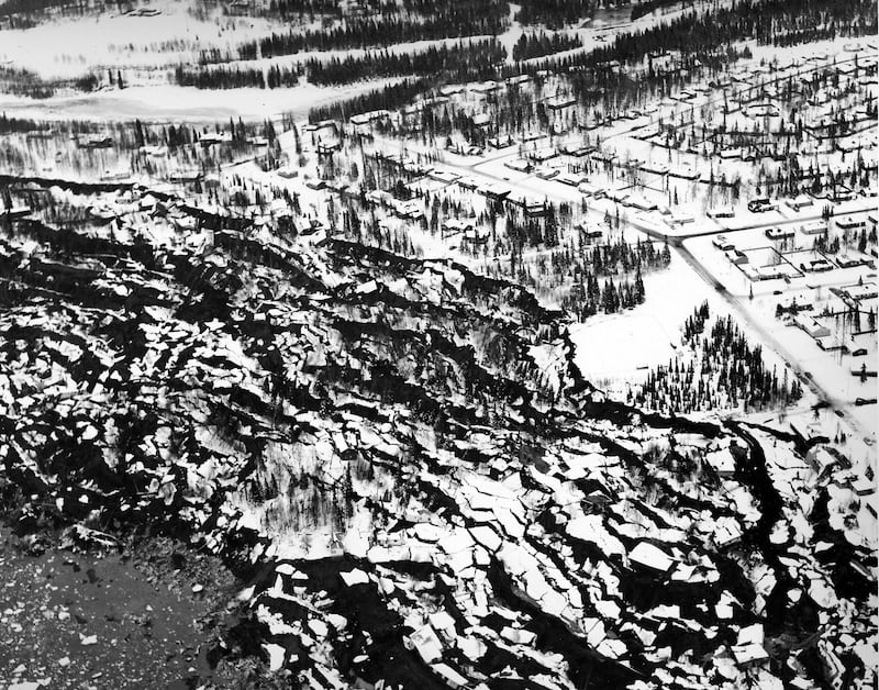 Aerial view of the Turnagain area in Anchorage, after the 1964 earthquake. (U.S. Army Corps of Engineers)
Removing these zones from MMHOP would only reduce the number of lots by an estimated 13%, according to Planning Director Mélisa Babb. But these areas are some of the “most valuable” because they are close to existing infrastructure like water and sewer utilities, sidewalks and transportation corridors, Babb said.
The removal of zones four and five is not an “anti-housing request,” but about protecting life and property, North Star resident David Wigglesworth said during a September public hearing on MMHOP. Building codes should only be part of the solution, and while homes, schools and other developments already exist in these areas, it doesn’t change the underlying geology, he said.
City officials have said restricting construction in certain areas based on natural disasters like earthquakes, wildfires and floods would be a departure from the norm for Anchorage’s zoning regulations.
MMHOP co-sponsor Erin Baldwin Day said if the city deems adjustments are needed, then they should be made on a broader scale.
“The concern (about seismic risk) itself is valid,” she said in a Monday interview. “I do not think it is appropriate to limit that concern only to a contentious zoning proposal.”
Baldwin Day on Tuesday introduced an Assembly resolution to establish a working group to evaluate seismic and other natural hazards in Anchorage and advise “responsible development practices.” The Assembly unanimously approved her request.
“The potential inclusion of seismic risk considerations in Title 21 (land use code) and zoning is a policy decision that should not be undertaken without careful study by municipal staff, community experts, and emergency management professionals,” the resolution states.
Baldwin Day compared it to the idea of restricting development on the Hillside because it’s one of the areas of the city most at risk to wildfires.
“How are we dealing with all of these different hazards which we know exist in our community and are we treating some of them differently than others? And if so, why?” she asked Assembly members.
 Bookcases emptied and a desktop was cleared in a West Anchorage home following a 7.1 earthquake on Nov. 30, 2018. (Bob Hallinen / ADN archive)
Anchorage’s seismic maps, initially developed in 1979 using data from the Good Friday earthquake, are currently under revision by municipality, the resolution states. Updated maps are anticipated before the end of 2026. Within six months of their publication, the new working group will assess building codes in high hazard areas and deliver policy recommendations to the Assembly, the resolution states.
Baldwin Day’s resolution mirrors an Oct. 1 request from the city’s Geotechnical Advisory Commission for the establishment of a committee to implement the new earthquake hazard maps.
Over the last month, the commission held two special meetings specifically focused on the MMHOP proposal.
Different opinions on risk management emerged at the Sept. 29 meeting.
Since the commission’s inception, one of its major goals is to provide risk mitigation advice to the community, said John Thornley, who has been a member since 2009. Part of that advice is not increasing the density of seismic hazard zones four and five, he told the commission.
Referring to the city’s current comprehensive plan, this idea “permeates throughout a lot of the documents and dialogue that the municipality has,” he said.
In the past, seismic hazard zone five has experienced significant ground displacement of up to 18 feet, he said.
“The Geotechnical Advisory Commission has long stated, don’t build in these areas. … Accept the fact that we have built in these areas, but don’t increase the density,” Thornley said.
Commissioner Amy Steiner said she was hesitant to say engineering risk mitigation is a “zoning problem.” She pointed to the engineering regulations already in place in Anchorage’s building code to ensure safe building practices.
“There should absolutely be a higher level of oversight,” she said. “But straight up saying, ‘Thou shalt not build anything else in this area,’ feels harmful to the community at large and detracts from the purpose of, let’s find engineering solutions, buy down risk and let people make choices based on their personal risk tolerance.”
Babb said treating hazards as an aspect of zoning would be a “total policy shift” for Anchorage’s current zoning code. To date, the municipality has generally identified known hazards in an area and any development in those areas may be subject to additional site-specific review and engineering requirements set by the building department, she said.
Significant building and reinvestment has occurred recently in seismic zones four and five, including the construction of Inlet View Elementary, which opened to students earlier this year; the Downtown Edge condos near the port; and in downtown, a new library at the Historic City Hall building as well as a transit center.
Earlier this month, the municipality also moved forward with a land swap that allowed it to acquire a downtown parking lot known as Block 102 at Ninth Avenue and D Street with the intent of building more than 100 multifamily housing units.