
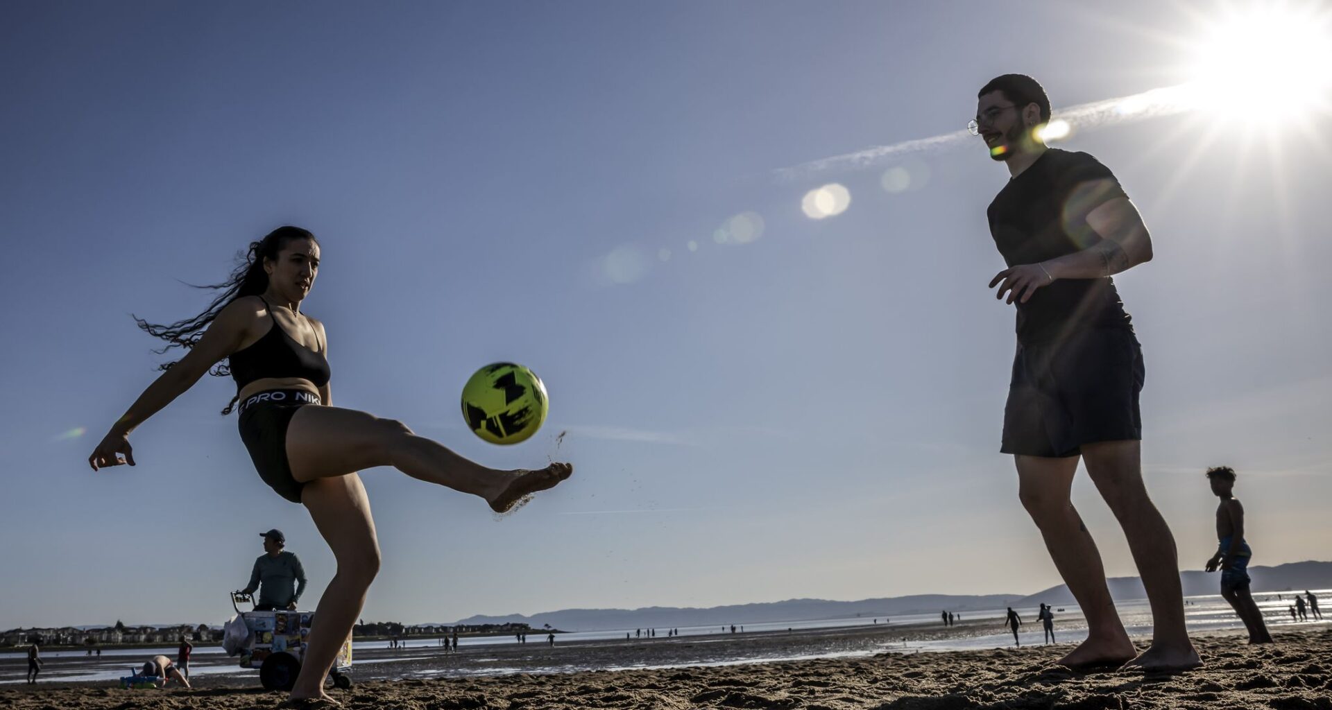
Luma Prudente and David Carneiro kick around a soccer ball at Alameda South Shore Beach during last week’s heat wave. Above-normal temperatures are expected to linger around the state into the weekend.
Carlos Avila Gonzalez/S.F. Chronicle
Perspective is key for this week’s California weather forecast.
The worst of the unprecedented March heat wave is over, but much warmer than normal weather continues — more than 20 degrees in parts of the state.
Daily records are possible this week in the Central Valley, Central Coast, Sierra Nevada and much of Southern California. Highs will be in the 60s in Lake Tahoe, 80s in Sacramento and Fresno, around 90 in Los Angeles and 100 in Palm Springs. Those temperatures are about 10 degrees lower than last week, when March records were shattered, but readings will still be highly unusual for this time of year.
Article continues below this ad
A sea breeze should spare San Francisco from downright hot weather, but highs will still be in the upper 60s to mid-70s, well above late March norms. The interior North Bay, East Bay and South Bay are forecast to reach the upper 70s to low 80s. Only minor fluctuations in temperatures are expected each day, though Tuesday and Friday appear to be the warmest days.
Above-normal temperatures will probably linger through the weekend throughout California.
San Francisco Chronicle Logo
Make us a Preferred Source to get more of our news when you search.
Add Preferred Source
Del Norte and Humboldt are the only counties in California forecast to receive rain this week. Less than a half-inch of rain is expected there Tuesday evening into Wednesday morning. The rest of the state will see a mix of sun and clouds Monday, mostly sunny skies Tuesday and Wednesday, and increasing clouds Thursday and Friday.
Article continues below this ad
There’s a chance San Francisco goes the rest of the month without a drop of rain, which would make it the city’s driest March in more than a century, with just 0.06 of an inch.
While the next seven days are likely to be dry, precipitation chances may return around April 1. Weather models predict the area of high pressure responsible for the record heat will move east and open the door for “increased chances for unsettled weather,” the National Weather Service Climate Prediction Center said.
However, high-pressure systems are stubborn and have a feedback loop that weather models are often too eager to break down, when in reality they remain stuck for long periods. Spring also marks the time that the storm track begins to weaken and retreat poleward, making weather forecasts beyond seven days unreliable.
San Francisco averages six days of rain in April and four in May, totaling to 1.4 and 0.6 inches, respectively. The city went entirely dry those months in 1906, but that’s the only time in San Francisco’s recorded history without measurable rain in April and May.
Monday breakdown
Beachgoers try to cool off at Aquatic Park in San Francisco last Monday during the record-setting heat wave. Another warm week is in store for San Francisco, with highs in the mid-60s along the coast and the low 70s inland Monday.
Giselle Garza Lerma/S.F. Chronicle
San Francisco: A summerlike day is in store for the city — minus fog. High temperatures will be in the low 60s in the Outer Sunset and Richmond districts and Lake Merced, the mid-60s in the Marina, Presidio, West Portal, Ingleside and Inner Sunset and Richmond, and the upper 60s to low 70s downtown and in the Mission, Noe Valley and Dogpatch. The afternoon sea breeze will bring gusts up to 20 mph. Overnight lows will be in the low to mid-50s.
Article continues below this ad
North Bay: Partly to mostly sunny skies are expected, with above-normal temperatures. Highs will be in the 60s at the coast, the mid- to upper 70s along Highway 101 in Marin and Sonoma counties, around 80 in Napa and Sonoma valleys, and in the low 80s in eastern Solano County. The afternoon sea breeze will bring frequent gusts of 10 to 20 mph, especially to the Petaluma Gap and the delta. Lows will be in the upper 40s to low 50s.
Gardener and beekeeper Manuel “Manny” Garcia waters vegetables at Fig Leaf Gardens in Oakland last Monday. Warm weather continues this week, with highs into the low 70s on the coast and low 80s inland Monday.
Brontë Wittpenn/S.F. Chronicle
East Bay: The warm, sunny March continues. Highs will be in the upper 60s to low 70s in Richmond, Berkeley, Alameda and West Oakland and the mid-70s in the Oakland hills, Hayward and Fremont. Upper 70s to low 80s are expected in Lamorinda, the Tri-Valley, Walnut Creek, Antioch and Brentwood. Gusts up to 15 mph are expected in the afternoon and evening. Lows will be in the low to mid-50s.
Pacific Coast and Peninsula: Mostly sunny skies are expected as high temperatures reach the low to mid-60s at the beaches, the mid- to upper 60s in Daly City, South San Francisco and San Bruno, and the low to mid-70s in San Mateo and Redwood City. Gusts up to 25 mph are possible in the afternoon, strongest near San Francisco International Airport. Overnight lows will be in the low to mid-50s.
Article continues below this ad
South Bay and Santa Cruz: Sunny weather will continue with highs 10 to 15 degrees above normal, in the mid- to upper 70s in Santa Cruz, Santa Clara, Sunnyvale, Mountain View and Milpitas. South San Jose, Cupertino, Morgan Hill, Gilroy and the Santa Cruz Mountains should reach the low 80s. An afternoon sea breeze will bring gusts of 10 to 15 mph. Overnight lows will be in the upper 40s to mid-50s.